December 2021 Snapshot of the Soil Data Repository
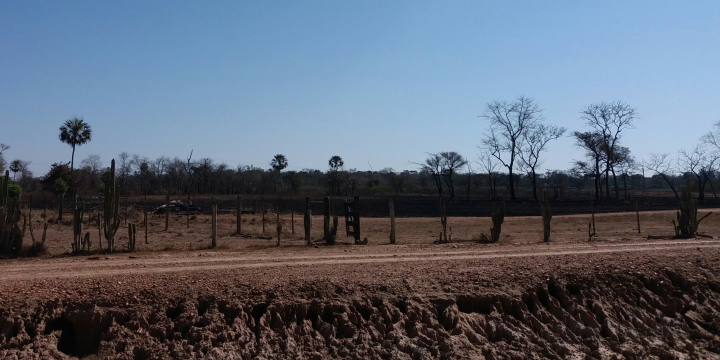 Floodplain of the Cuiabá River, Cuiabá (MT)
A snapshot is a picture of the data published in the FEBR soil data repository. FEBR snapshots are published in June and December. In these months, World Environment Day (June 5th) and World Soil Day (December 5th) are celebrated.
FEBR snapshots are produced after data standardization and harmonization. Standardization ensures that the values of a soil property are expressed using the same data type, number of decimal places, and measurement unit.
Harmonization transforms the values of a soil property, determined using any analytical method, to the values that are more likely to be obtained if a reference analytical method was used.
The resulting dataset–a super dataset–is ready for immediate use (analysis ready) by the community.
Snapshot content
The December 2021 snapshot can be downloaded from https://cloud.utfpr.edu.br/index.php/s/akjtYo6JWdHDkl4.
The following sections describe the fields contained in the December 2021 snapshot. Sources are the source datasets of the data. Events are soil observations (profiles, auger observations etc). An event is defined by its spatial (latitude and longitude) and temporal (date) coordinates. Finally, samples correspond to layers and horizons, each coming from an event.
Sources
dataset_id: Dataset identification code in FEBRdataset_titulo: Dataset titleautor_nome: Dataset authororganizacao_nome: Dataset authoring organizationdataset_licenca: Dataset use and distribution licensedataset_versao: Dataset latest version numberpublicacao_data: Date of publication of the latest version of the datasetpalavras_chave: Index terms that describe the datasetarea_conhecimento: Soil science subject to which the dataset is related
Events
observacao_id: Soil observation identification code in the datasetsisb_id: Soil observation identification code in the EMBRAPA repositoryibge_id: Soil observation identification code in the IBGE repositoryobservacao_data: Date on which the observation (sampling, description) of the soil was carried outcoord_x: Longitude of the (central) soil observation point (SIRGAS 2000, degrees)coord_y: Latitude of the (central) soil observation point (SIRGAS 2000, degrees)coord_precisao: Spatial coordinates precision (m)coord_fonte: Spatial coordinates sourcepais_id: ISO code of the country where the soil observation was carried outestado_id: Acronym of the federative unit where the soil observation was carried outmunicipio_id: Name of the municipality where the soil observation was carried outamostra_tipo: Soil sampling type (simple or composite)amostra_quanti: Number of soil sub-sampling carried out (composite sampling)amostra_area: Area covered by the sampling (m2)taxon_sibcs: Soil taxonomic classification according to the Brazilian Soil Classification Systemtaxon_st: Soil taxonomic classification according to the Soil Taxonomytaxon_wrb: Soil taxonomic classification according to the World Reference Base for Soil Resources
Samples
camada_id: Ordinal number of the observed soil layer (horizon)amostra_id: Sample identification code (or its repetition) in the soil analysis laboratorycamada_nome: Name (or alphanumeric symbol) of the observed soil layerprofund_sup: Upper depth limit of the observed soil layer (cm)profund_inf: Lower depth limit of the observed soil layer (cm)terrafina: Fine earth content (g kg-1)argila: Clay content in the fine earth (g kg-1)silte: Silt content in the fine earth (g kg-1)areia: Sand content in the fine earth (g kg-1)carbono: Carbon content in the fine earth (g kg-1)ctc: Potential cation exchange capacity in fine earth (cmolc kg-1)ph: pH of water in fine earth (dimensionless)dsi: Whole soil bulk density (kg dm-3)ce: Apparent electrical conductivity in the fine earth (mS cm-1)
How to cite
Samuel-Rosa, A; Horst, T.Z. FEBR Soil Data Repository–December 2021 Snapshot. Pedometrics Laboratory, Federal University of Technology–Paraná, Santa Helena, Paraná, Brazil. Available at https://cloud.utfpr.edu.br/index.php/s/nEXaoXIE0nZ1AqG. Accessed on YEAR-MONTH-DAY.
Alessandro Samuel-Rosa
Professor Adjunto
Meus interesses de pesquisa incluem otimização amostral, geoestatística e aprendizado de máquina, e dados abertos do solo.